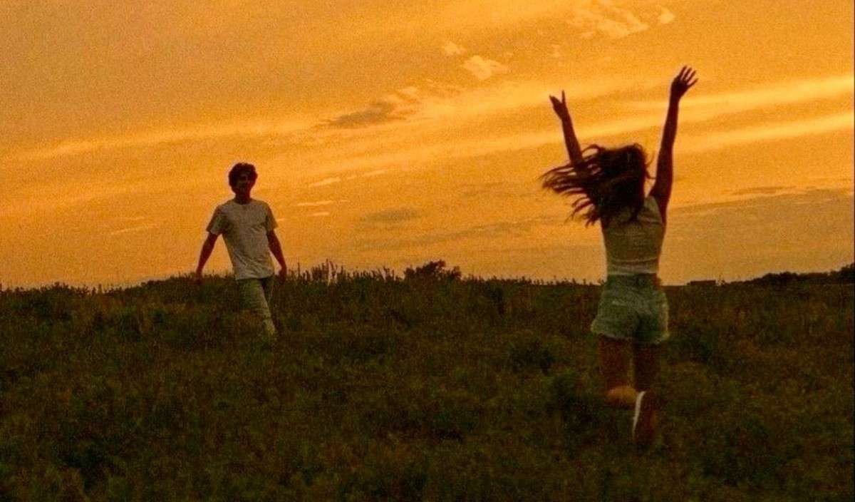
Stuck At Home on Earth Day? Here's How to Connect with Nature Right Where You Are
There are dozens of ways for you to connect with nature while you're stuck in quarantine-but here are just a few methods to celebrate the 50th Earth Day.
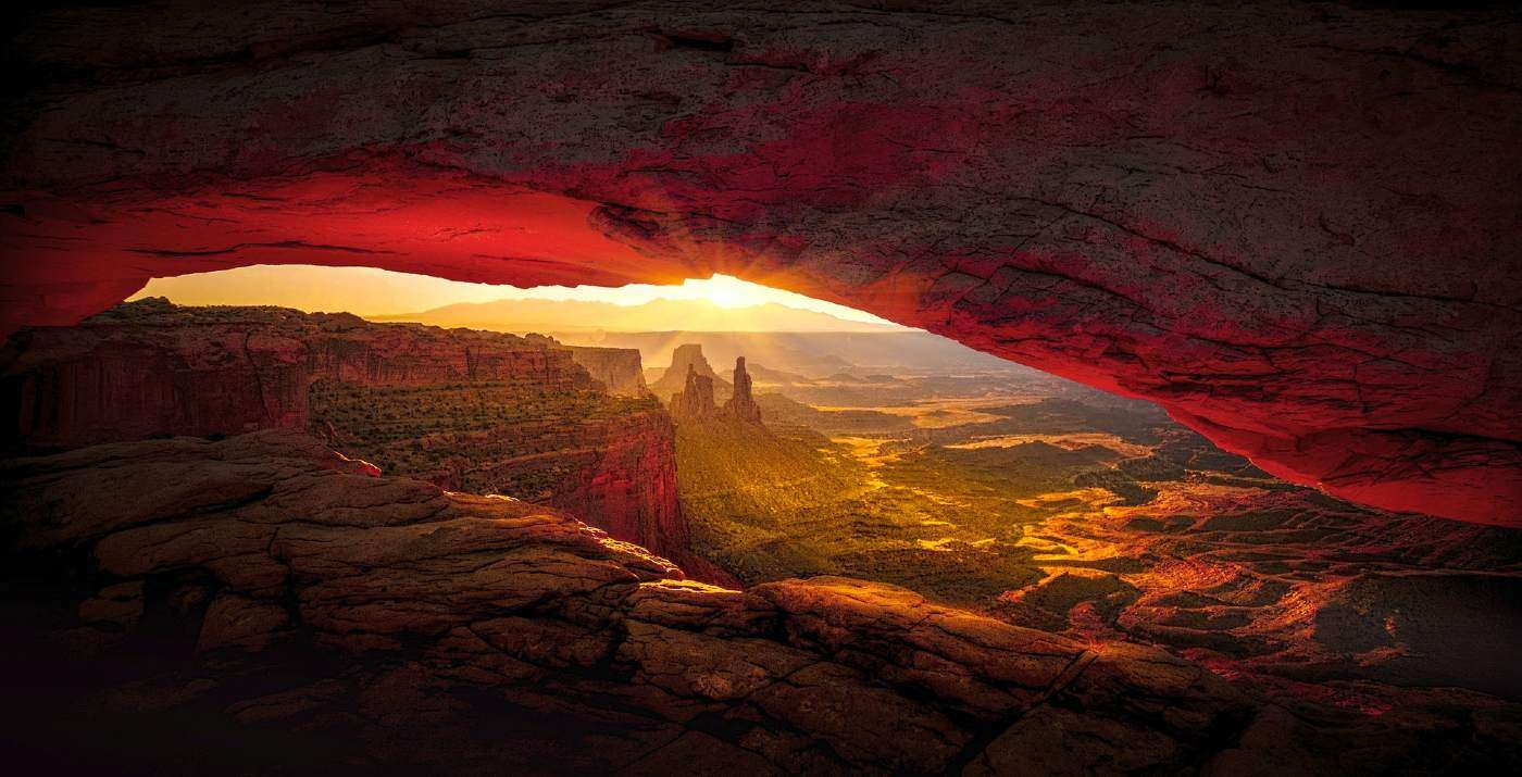
The United States has been at the forefront of land conservation for generations. Now an interactive map has compiled data on all conserved American land near you, from the smallest playground to the largest park, that neatly summarizes that success.
It uses data sets on conservation projects completed using money from the Land and Water Conservation Fund (LWCF), one of the country's most important pieces of conservation legislation, and by far the most important when it comes to funding.
Over the decades, 150,000 grants from the LWCF have been used in every state and almost every county to ensure Americans have access to nature, that our natural resources are protected or sustainably harvested, that our wildlife species have chances to thrive or recover when threatened, and that major cities are not bereft of playgrounds, gardens, and more.
This interactive map, constructed for the LWCF by the non-profit Trust for Public Land, takes the data on all these projects and puts them into one tool for the public to browse.
Viewers can search projects by state, or by department, as the LWCF gives grants to the NPS, the BLM, FWS, and the Forest Service.
A report by Fast Company details that the data on all those projects has never been put in one place before, and has remained largely fragmented.
In 2019-20 a series of government measures sought to permanently authorize the LWCF, rather than do so every few years as is normal in funding legislation, a move which passed and was signed into law as part of the Great American Outdoors Act, described at the time as "the most consequential dedicated funding [bill]," in the nation's conservation history.
The LWCF doesn't use taxpayer dollars, and instead relies on a percentage of national revenues from offshore oil and natural gas extraction to fund the projects. It's the largest source of public lands funding, and has played a large role in the creation of the U.S.'s public lands catalogue, totaling one tenth of the world's protected areas.
SHARE This Great Tool With Others Who Love Public Lands…


Be the first to comment